環境モニタリング

リスク管理を最大化し、予期しない動きを検出するための柔軟なソリューション

当社は、お客様のニーズに合わせてカスタマイズ可能で柔軟なモニタリングソリューションへの容易なアクセスを提供します。

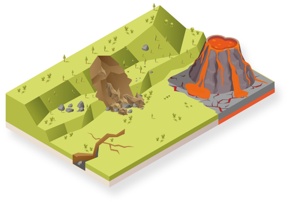
土砂崩れや地震・火山活動などの自然災害を早期に警告するための情報、起こりうる不具合を予測するための情報、研究および理解を深めるための関連データなどを専門家に提供し、モニタリングにも最適なソリューションを取り揃えています。 当社はフルソリューションを提供できる統合ベンダーです。トータルステーションおよび GNSS などの当社のハイエンドセンサーと、サードパーティ製の地質工学および環境センサーがシームレスに連携するように開発されたソフトウェアを提供しています。また、専門家によるサポートおよびコンサルティングサービスもご利用いただけます。 リアルタイムの情報でモニタリング、カスタマイズ可能なスケジュール設定に基づいた自動生成レポートでサポート。 反転速度、危険および変異マップ、速度制限チェックによる特殊レポートにより、不具合のリスクを増加させる陸塊の加速度に関する情報を得ることができます。
「ライカジオシステムズのソリューションの品質はすばらしいものですが、弊社にとって最大の利点はサポートです。 アクティブカスタマーケア サポートのおかげで、現場で発生する問題にすばやく効率的に対処することができます。」

クレメンス・ティーリー氏
Strukton社の測量マネージャー

事例

Real-Time Monitoring Advances Landslide Risk Management

Residents of British Columbia’s Old Fort were shocked by the roar of a landslide

Residents of British Columbia’s Old Fort were shocked by the roar of a landslide

Monitoring Pays Off

Thanks in part to Leica Geosystems’ Deformation Monitoring solution GeoMoS, local authorities were able to evacuate the valley’s industrial zone and to close the A2 highway and several cantonal roads at an early stage.
Thanks in part to Leica Geosystems’ Deformation Monitoring solution GeoMoS, local authorities were able to evacuate the valley’s industrial zone and to close the A2 highway...

Rock Solid

100,000 cubic meters of rock slid down a rocky scarp near a hydroelectric facility northeast of Campbell River, British Columbia, Canada.

Monitoring a landslide recovery operation

The benefit of combining technologies; the detection speed of radar and the reliability of interpretation of movements via measurements from total stations.
ソフトウェア製品

Leica GeoMoS

柔軟な自動変位モニタリング・ソフトウェア・ソリューション

Leica GeoMoS Now!

モニタリング・データの分析とビジュアル化をどこからでも行えます。

Leica CrossCheck

A multi-purpose GNSS analysis tool for QC and monitoring.

Leica GNSS Spider

継続動作しコアとなる基準局ネットワーク
継続動作しコアとなる基準局ネットワーク

Leica GeoMoS Adjustment

Automatic adjustment and deformation analysis for monitoring.
ハードウエア製品

Leica Nova TM50

最も正確で最も信頼できるイメージング・モニタリングのトータルステーション。

Leica GM30

オール・イン・ワンの GNSS モニタリング受信機

傾斜センサー

高精度で精密な傾斜モニタリングセンサー
高精度で精密な傾斜モニタリングセンサー

Leica ScanStation P50

最も高速で安全な長距離対応の3Dレーザースキャナー

Leica Nova MS60

GNSS 接続性およびデジタルイメージングに対応し、スキャニングとセルフラーニング機能を搭載する究極の万能トータルステーション。
Downloads


お問い合わせはこちら 当社よりご連絡いたします

お客様をサポートいたします