Evolve Customer Deliverables

Author: Simon Hall & Kevin Hainsworth
Introduction
For some smaller service providers, the world of Robotic Total Stations and automated surveying technologies can be out of reach in terms of availability and pricing. However, alternative solutions developed by Leica Geosystems have helped these providers to complete their work to the highest standard, increasing efficiency and accuracy.
Insepes Ltd., founded in 2010, is a provider of boundary dispute expert witness services. Kevin Hainsworth, a Chartered Land Surveyor since 1988, started the company in Manchester, United Kingdom. Kevin’s first hands-on experience with Leica Geosystems products was at the University of Newcastle Upon Tyne between 1981 and 1984, where he was a Geography and Surveying Science Undergraduate.
The challenge of evolving deliverables
Insepes always aim to evolve their deliverables to better isolate and explain key issues to laymen, lawyers and judges alike. The company wanted to test how this might be done with the Leica BLK3D, and also wanted to explore what other opportunities it might bring outside their core boundary dispute business.
During the Covid lockdowns in the UK site visits for lawyers and judges essentially stopped. Even when some restrictions started to lift, the only-eyes-on-the-ground were often the lone surveyor preparing their 2D survey plan and taking a series of photographs. Insepes realised that if that lone surveyor could at the same time gather information that could spare others the journey, then that was value added. That added extra was only going to be worthwhile if the time, cost, and energy of doing it was not a burden.
Driving for a change
An increased awareness, acceptance, understanding and appreciation of digital deliverables by the courts means that 3D digital models and 2D orthographic images are now seen as a valid way of presenting information and also as being a very valuable aide-memoir in court when the site visit may have happened many months previously.
“I was looking for a solution that was reliable, multi-functional, compact, and quick and easy to learn and use. I wanted a solution that produced a scaled and oriented model without the need for ground control points. I also wanted to spend as little time as possible in the office processing the data once captured. It was very important to me that the data collected could be processed in non-Leica software, such as RealityCapture, Elcovision and Agisoft Metashape.”
Kevin Hainsworth – Owner | Insepes Limited
The Leica BLK3D

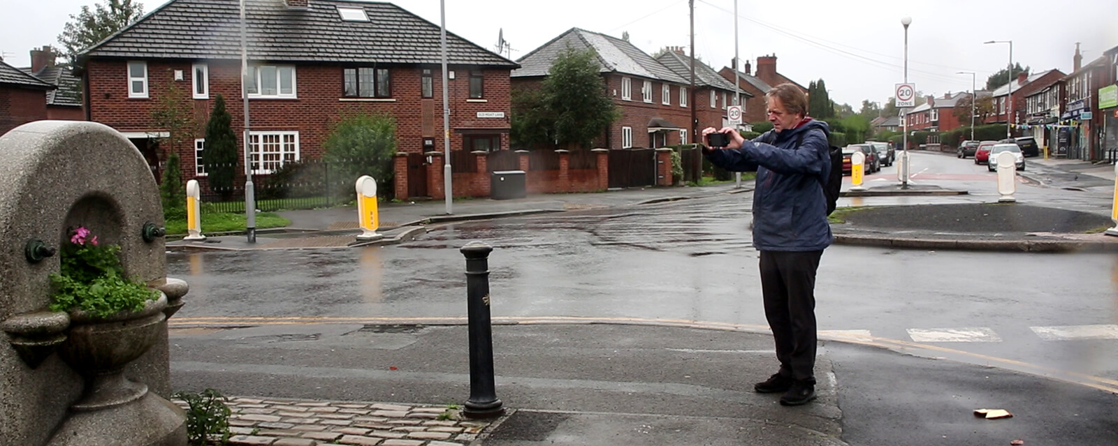
The Leica BLK3D is a measurement solution based on photos. Each photo captured is a complete measurement record which contains height, width, and depth measurements. It also allows users to capture stereo-images, which can be used to compute image-based point clouds and orthophotos.
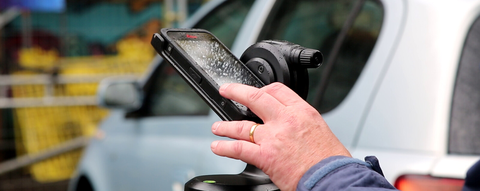
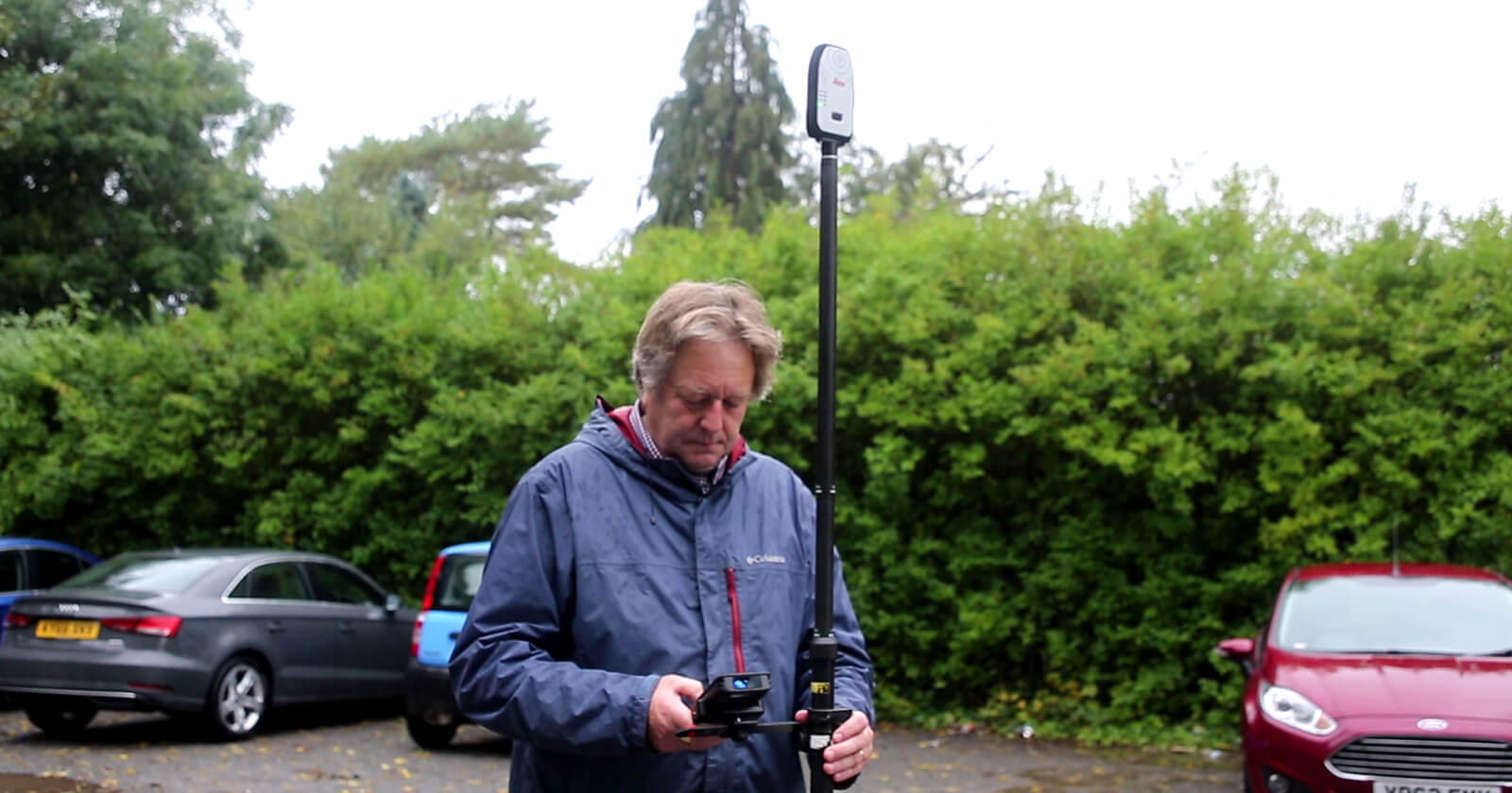
It is the multi-tool capabilities of the BLK3D that make it stand out from anything else Insepes had considered. For greater accuracy, Kevin combined the BLK3D with the Leica Zeno FLX100 GNSS receiver and RTK correction from SmartNet, improving the GPS position stored in the BLK3D images to up to 2cm accuracy. With this setup the BLK3D turns into a highly accurate data collector.
In addition, the Leica DST 360 Adapter for BLK3D effectively turns the BLK3D into a reflectorless total station.
“The small form factor of the calibrated stereo camera in combination with the compass, 3D accelerometer and 3D gyroscope were the most appealing physical features. As the user decides when each image is taken it is possible to greatly reduce, if not completely remove, the impact of pedestrians and moving vehicle noise in the point cloud and this saves valuable time in the office. Ultimately the most appealing feature was the accuracy and resolution of the orthographic images and the textured meshes that resulted from using it.”
Kevin Hainsworth – Owner | Insepes Limited

Enter the world of 3D models
Insepes started cautiously and only when they were confident with their workflow did they start to provide orthographic images, point clouds and textured meshes to clients.
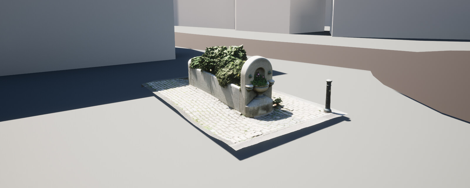
Once in the office, Kevin imported the folder containing the images captured with BLK3D, also known as “Image Group”, into a third-party photogrammetry software and processed the images. Now, Insepes can provide clients with links to large textured meshes in Nira.App, reduced sized textured meshes in Sketchfab, and more recently, Twinmotion Cloud.
“The first time I provided a client with a survey plan underlaid with an orthographic image created from BLK3D images they were amazed both by the accuracy and the resolution and also by the amount of information that they could see and now measure, much of which would not have been provided by their original survey specification.”
Kevin Hainsworth – Owner | Insepes Limited

Kevin has used orthoimages created from BLK3D images to add features (by tracing) to survey plans when to survey those features by traditional methods would have been more time consuming and potentially dangerous. Examples of these types of surveys being the edges of re-surfacing, stone and brick walls, and road markings. Using and understanding the BLK3D to textured mesh workflow has also helped Insepes to enter the world of 3D models and digital twins, and is opening new opportunities for the company in asset collection.
3D model obtained from BLK3D images computed with third party software
A client asked Insepes to return to site to update a survey plan with some features that had not been in the original specification. Fortunately, the BLK3D was used to capture images on the first site visit, with the required additional features being evident in the orthoimage they had created. Consequently, Insepes were able to provide a revised drawing early the next day.
A view to the future
The BLK3D is so versatile and portable that Kevin always take it to site even if there is no requirement from the client to provide an orthoimage, point cloud or textured mesh. Kevin often uses it to measure otherwise inaccessible features.
These attributes also make the BLK3D a great tool for recording exposed utility trenches and other ephemeral features, an area of potential business that Insepes intend to investigate further: The accuracy that can be achieved is higher than the citizen scanning applications currently available, which typically require the time consuming installation of control points for scaling and orientation.
“In my opinion the capabilities of the BLK3D are under-appreciated: When combined with an FLX100, a SmartNet licence, and DST360 (for BLK3D), it is a more than capable surveying system for smaller sites. Its weight and size are also great advantages over the alternatives”
Kevin Hainsworth – Owner | Insepes Limited
Connected and simplified workflow
Optimise your semi-automated monitoring workflow with the seamlessly connected Captivate TPS Monitoring app and GeoMoS Now! Survey Edition. Total station measurements, calculations, and instant notifications are completed with the Captivate TPS Monitoring app before data is automatically imported into GeoMoS Now! Survey Edition. Here you benefit from real-time visualisations on your personalised dashboard and automated, fully customisable reporting – all accessible wherever you are from your tablet or smartphone over a browser.
Real-time visualisation
Real-time measurement visualisations ensure you are up to date with the deformation data you need, wherever you are. GeoMoS Now! Survey Edition provides visualisations of calculated displacements on your customised dashboard as soon as data is imported from Captivate – so you immediately see and share the most relevant information. Visualise displacements on a map, select from a variety of chart types and raster or vector backgrounds, and create tables for automatically updated value tracking. Access your data securely in the field or any other location over any smart device without travelling back to the office for data processing, saving time and enhancing efficiency.
Personalised dashboards
With a range of visualisation customizations for calculated results, your personalized dashboard provides easy access to an overview of essential and up-to-date displacement data for your project. Customize what you see by selecting charts and graphs with different metrics, adding dataset layers, set thresholds values for different limit levels, and visualize critical deformation levels. With 16 templates, including timeline and vector graphs, scatter plots, bar charts, contour graphs, and more, you can see all the information you need in the visual package best suited to your project. Additionally, charts and maps are automatically updated each time new data is imported so that your custom dashboards are always current.
Customised and automated reporting
Save even more time with fully automated, customizable reports. GeoMoS Now! Survey Edition allows you to provide results with professionalism by creating reports from fully tailorable templates featuring your company branding. Automate these reports to be generated and sent at defined intervals to a designated list of recipients and be confident that your results are getting to the right stakeholders, at the right time.


