GPR Systems & Their Use
Locating underground utilities without breaking ground can be a headache, especially in challenging environments. Opening trenches and digging trial pits can be inefficient and expensive, with out-of-date utility maps adding to the problem and potentially causing health and safety issues.
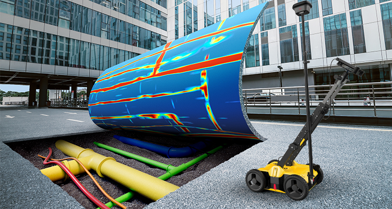
Searching for underground utilities is now much simpler with the Leica DSX Utility Detection Solution. Unlike any other ground penetrating radar (GPR) system, the Leica DSX maximises productivity with cutting-edge software that automates data analysis and creates a 3D utility map on the field.
Submit your contact details to be contacted and learn more about how to uncover utilities clearly and effortlessly with our portable hardware and intuitive software.
Learn more about GPR by downloading the White Paper "GPR Explained".


