Roads & Highways

Let us help you deliver your next road and highway project on time, safely and as efficiently as possible.

Deliver the most accurate and complete geospatial data for roads & highways

Engineering surveyors can help the planning, designing and building roads & highway projects as safely and efficiently as possible with Leica Geosystems solutions.

Our complete portfolio of surveying solutions, machine control systems and construction positioning solutions ensure safety, help you be faster, collaborate in the cloud, digitalise workflows and deliver the most accurate geospatial data in every phase of the construction lifecycle of highways and roads.

Discover the solutions at each phase of the construction life cycle and let our solutions increase your efficiency.

Construction lifecycle phases


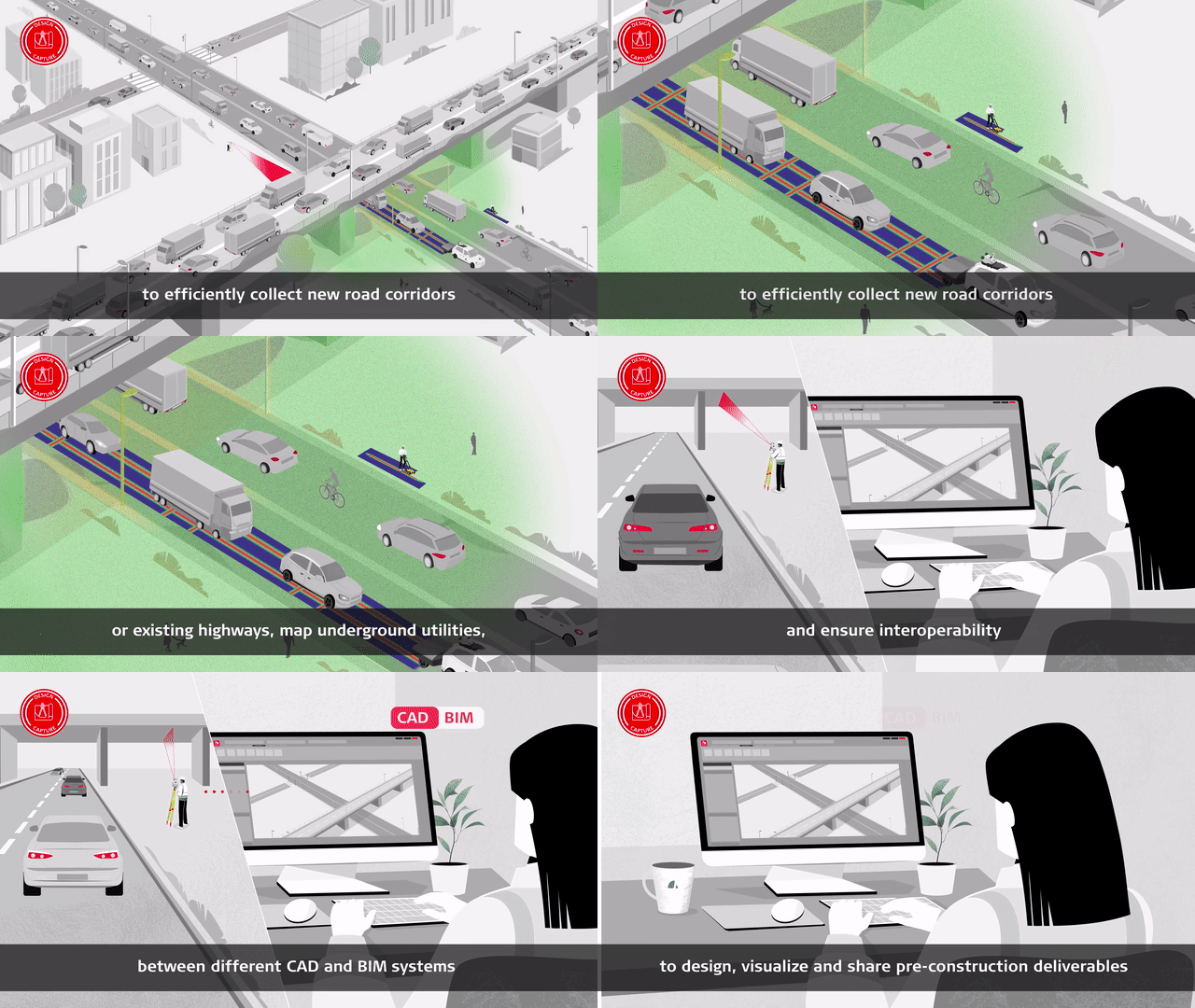
Design & Capture

Start projects the right way with the most accurate models. Determine site conditions for new and existing highways and roads and ensure safe excavation through mapping buried utilities.

Construct & Build

Optimise your design-to-field workflow to be complete and seamless with minimum delays. Our solutions are compliant with the latest BIM/IFC standards, enabling proper integration of the design into the as-built process.

Operate & Maintain

Optimise maintenance using the best-in-class monitoring and reality capture solutions with the highest resolutions and fastest collection and update rates. All of this is supported by a world-class suite of data management software.

In your own words


측량 솔루션

복잡한 작업도 얼마든지 다양한 측정, 포지셔닝, 시각화 및 협업 포트폴리오 내에서 솔루션을 사용해 성공과 효율성 향상

복잡한 작업도 얼마든지 다양한 측정, 포지셔닝, 시각화 및 협업 포트폴리오 내에서 솔루션을 사용해 성공과 효율성 향상

비즈니스 성장

기술과 프로세스로 디지털화를 수용하면 비즈니스가 새로운 기회를 창출하고 경쟁력을 유지하고 생산성을 향상시키는 데 어떻게 도움이 되는지 알아보십시오.

측량 솔루션

작업의 복잡도와 상관없이 라이카의 다양한 측정, 포지셔닝 및 시각화 포트폴리오를 통해 협업, 효율성 및 성공에 도움을 주는 솔루션을 사용할 수 있습니다.

스킬 향상

효율을 높이고 비즈니스 기회에 대응하는 스킬을 배우십시오. 잠재력을 발휘하여 고객에게 더 빠르고 전문화된 서비스를 제공하십시오.