The Compaction Control app

We are continuing our series of articles on the apps that are available for Leica Captivate.
The app we are introducing in this article can help with construction material compaction and therefore help prevent issues with the structure in later life. Compaction is an important part of the construction process and this app can help reach the correct level of compaction needed for each layer of material.
The Compaction Control app
All structures, such as roads, railways, bridges, building foundations, earth retaining structures, large drains or pipes need to be built on foundations of solid layers of material. For example, roads are created by laying down layers of material (firstly larger rock, then smaller rock, then layers of asphalt and so on).
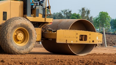
As each layer of material is laid, it needs to be compacted - this is normally done by large rollers or compactors.
Each material needs to be compacted to a specified level of compaction (normally expressed as a percentage).
The Compaction Control app allows repeated measurements to be made to the top of the material as it is compacted by the roller.
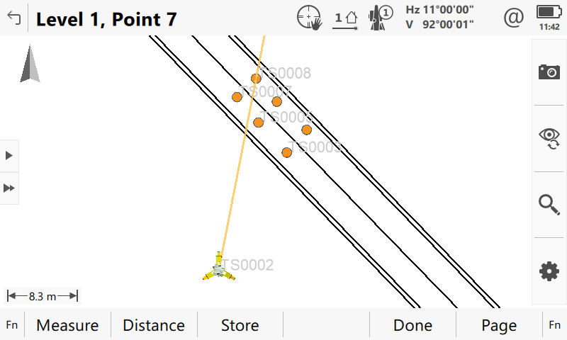
When starting the app, a new layer can be created. This means a set of measurements is made on top of a newly spread layer of material. Several points should be measured that are evenly spread over the surface of the layer.
Once enough points are measured, press F5 (Done). Now the roller/compactor machine goes across the layer for the first round of compaction. Afterwards the second “level” is measured, meaning the same points are measured again.
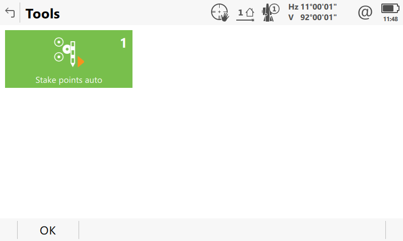
When using reflectorless measurements, this can be done automatically by using the Stake points auto function from the Tools menu of the app (Use Fn+F6 (Tools)). When using this function, the app will automatically find the same points on the surfaces as had been measured for the first level.
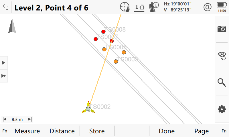
Once the second level of points has been measured, a message is displayed, showing the percentage of first level points that have been measured on the second level (100% means all level 1 points were measured also on level 2) and the average height difference between the measured points on level 1 and level 2.
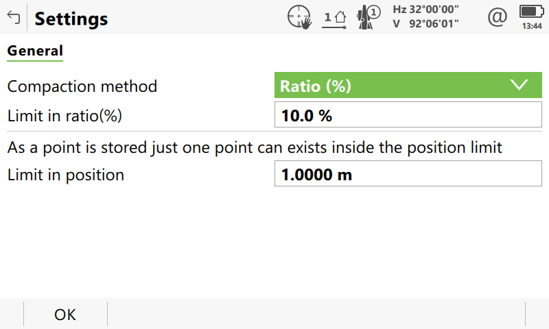
The Settings panel of the app allow defining at which compaction ratio the material is sufficiently compacted. The default value is 10%.
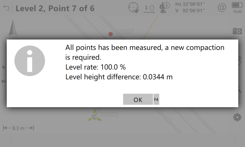
To calculate the compaction ratio, the app references the height difference between level 1 and level 2 as 100%. It then compares the height differences of the subsequently measured levels to this reference height difference.
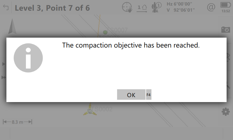
Once the height difference between two measured levels (meaning after one round of the roller/compactor machine going across the layer) is less than the defined Limit in ratio (e.g. 10%) of the first height difference, the app will mark all points as green and inform the user that the material has been sufficiently rolled and the compaction specification has been achieved.
Afterwards the Compaction Results are displayed.
A stylesheet can be used to create a comprehensive report of the compaction measurements.
If material layers are not compacted enough, this could lead to problems in the road later in life. Alternatively, if the layers are over-compacted, money is wasted. This app can help prevent either of these issues.
This app can be downloaded from Leica myWorld and has a trial period, so please feel free to try it before buying. If you are interested in this app, please contact your local Leica representative.


