Laser Scanning Sails into the Yacht Racing World
Case Study


r
Author: Mary Jo Wagner
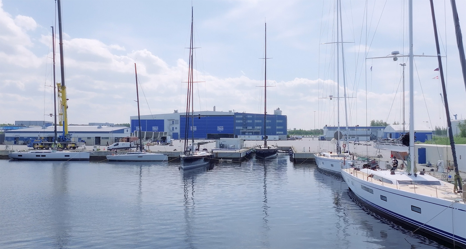
Along the west coast of Finland sits the historic town of Pietarsaari, where centuries-old maritime heritage and modernity meet in the world of contemporary yachting. Home to prestigious yachtlase builders Nautor Swan, Pietarsaari became the prime location for a pilot project in which yacht classification experts from the Offshore Racing Congress (ORC) precisely measured, modelled, and rated a ClubSwan racing yacht using Leica Geosystems 3D laser scanning technology. In a novel approach that provides more data faster than ever before, scanning brings racing parity through accuracy, using innovation to promote fair competition in this historic sport.
Historic Maritime Culture Meets Modern Boat Building
Sailing has long been integral to Finnish culture. Wonders like the Turku Archipelago off the southwest coast require sailing expertise to navigate safely but reward sailors with a landscape of thousands of islands. In this tradition of maritime exploration and enjoyment, Finland’s Nautor Swan, founded in 1966, emerged as a leader in building reliable, elegant, and high-performance sailing boats that have since become world-renowned.
The first Nautor Swan yacht, the Swan 36, introduced several design and material innovations, like the fibreglass hull. Since then, the blend of Finnish boat-building tradition and state-of-the-art has remained a key characteristic. This is especially true of their fleet of racing yachts, the ClubSwan series, including the recently debuted ClubSwan 43 – a racing-sport cruising crossover.
The Need to Measure Racing Yachts
Yacht racing, set amidst the ocean's expanse and against unpredictable elements over hundreds of nautical miles, requires careful planning, skill, and courage to master. However, no matter how skilled the sailor, when competing against different yacht sizes and designs, it is essential to establish fair competition among diverse fleets.
This is achieved through a system that rates racing yachts based on size, weight, sail area, hull shape and more. The system also calculates a yacht’s potential speed under varying conditions to provide time corrections used to adjust raw finish times in races. These ratings allow yachts of disparate designs and sizes to compete equitably so that the yacht with the best performance wins.
The Offshore Racing Congress (ORC) is an international body that provides official ratings across competitive sailing. Headquartered in London, England, with national rating offices in 46 countries, the ORC’s core mission is to ensure that every vessel is granted "an equal chance to win.” To that end, it has developed and maintains the world’s largest measurement-based handicapping and yacht-rating system.
By scientifically and impartially creating equitable ratings, the ORC system provides mandatory racing certificates and levels the playing field, offering all boats an opportunity to secure victory on the racecourse.
Rating Systems and Traditional Measurement Methods
ORC rating systems are based on the International Measurement System (IMS) and the ORC Velocity Prediction Program (VPP). The IMS is a measurement platform for collecting a boat’s hull, appendages, propeller, stability, rig, sails and accommodation measurements. Next, the VPP software algorithm uses the complete set of vessel measurements to calculate the theoretical speeds for boats in various wind conditions, including eight different wind speeds between six and 24 knots.
With that analysis, the ORC can issue rating certificates based on the determined performance differences between boats across wind conditions and course geometries. This is particularly significant for regatta events where various sizes of boats compete.
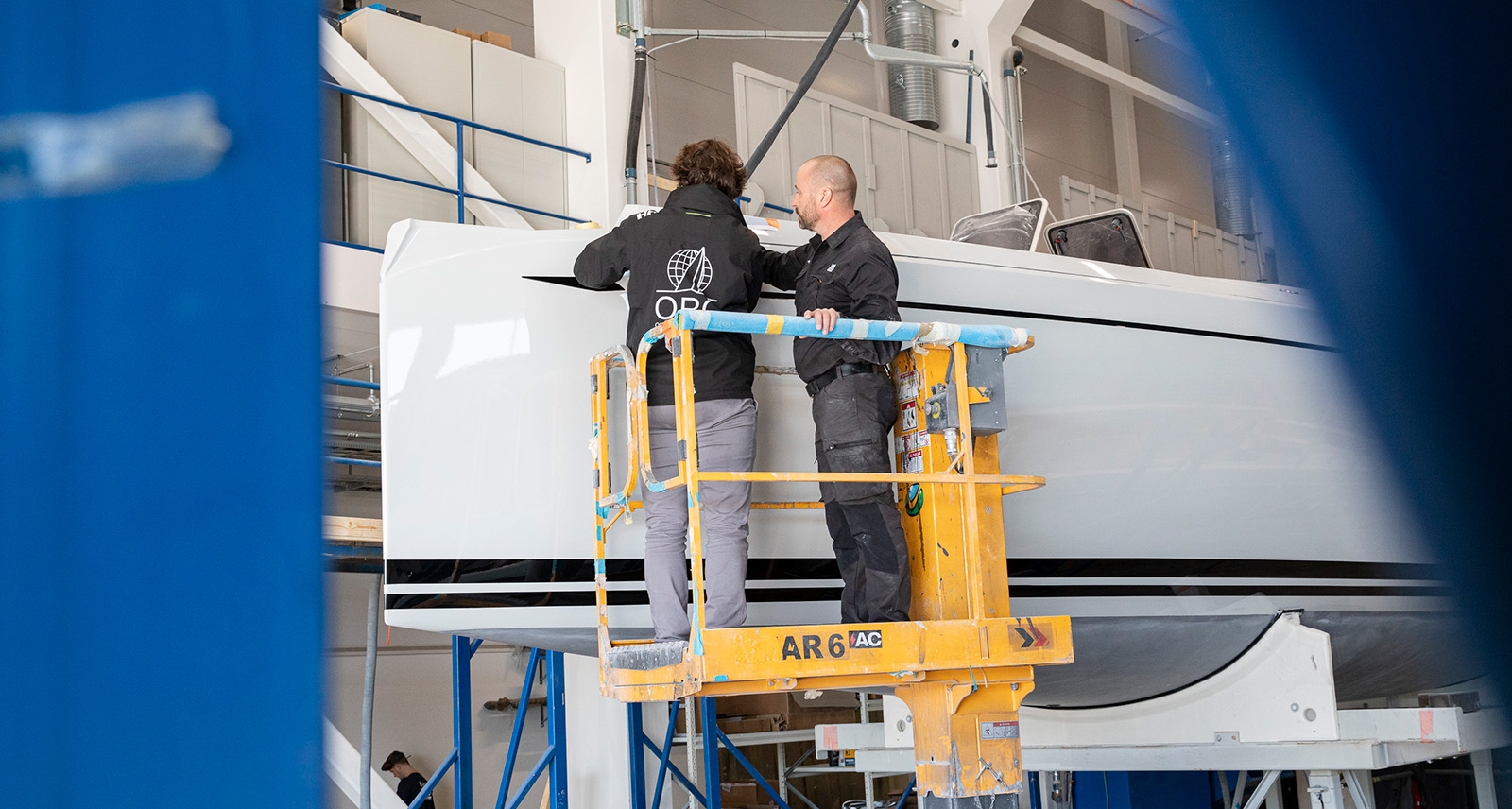
“Knowing the hull shape and geometry is one of the most important factors for predicting a boat’s performance,” says Alberto Pindozzi, a technical officer and super yacht manager at ORC. “So, it’s essential to accurately measure those elements to ensure each boat is rated properly for racing.”
Traditionally, acquiring the measurements needed for these analyses has been time-consuming, combining hand measurements and total stations to obtain the 3D shape of the boat. Although total stations allow ORC measurers to capture the hull and appendage shapes using transverse sections, the method requires more time in the field and doesn’t adjust for the longitudinal inclination, or trim, of the boat’s resting position on its cradle.
However, laser scanning presented a new horizon for this measurement process:
“Laser scanning would enable us to acquire every feature we need in significantly less time than conventional methods without sacrificing data quality or accuracy,” explains Pindozzi.
Testing the Scanning Waters
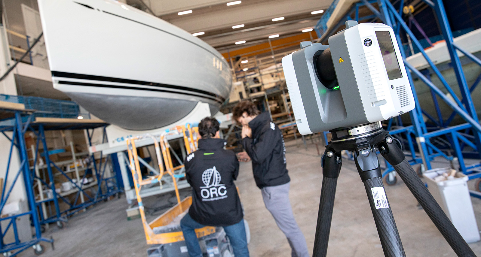
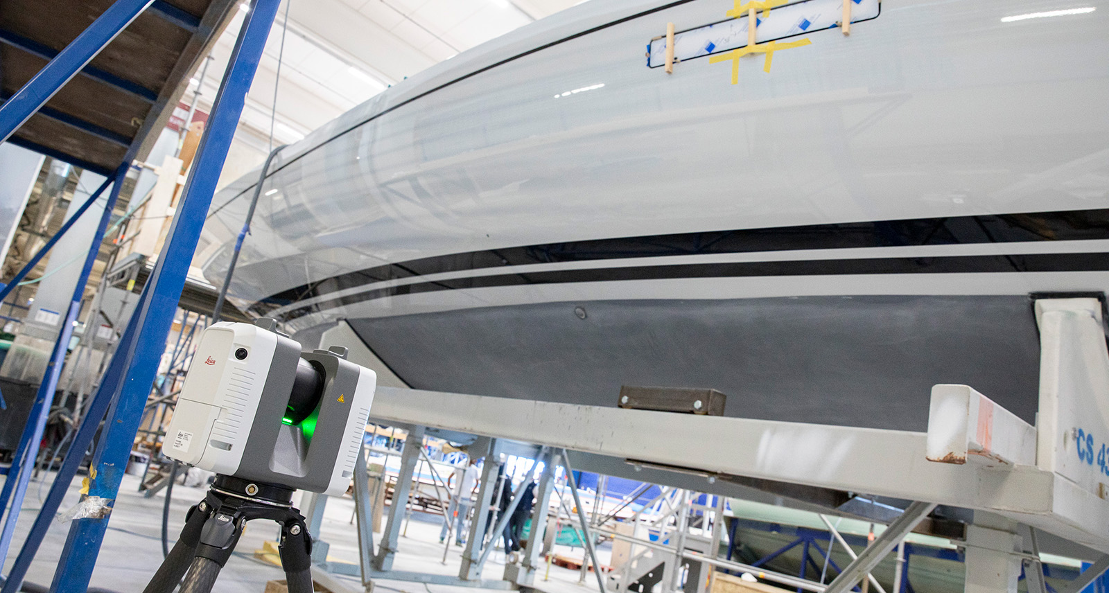
The ORC believed laser scanning would deliver fast and reliable results to enhance their existing process. Already an avid user of Leica Geosystems’ technology, the ORC employed the Leica RTC360 terrestrial laser scanner to test the viability of accurately scanning, modelling, and measuring the ClubSwan 43.
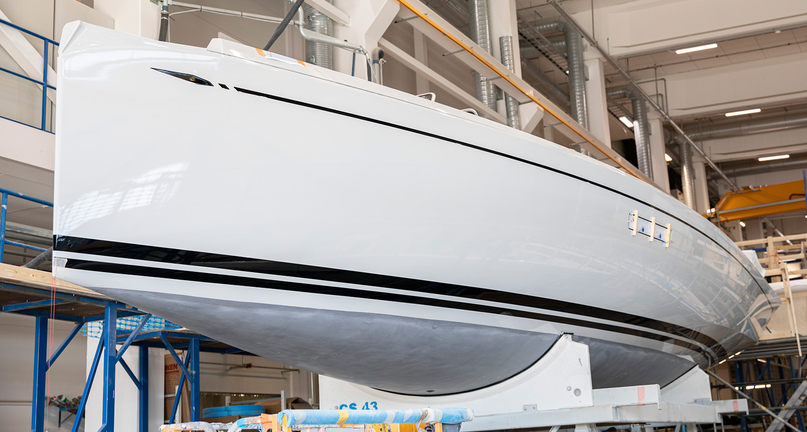
In early summer 2024, Pindozzi and ORC technical officer Matteo Zuppini traveled to Nautor Swan’s Pietarsaari shipyard to scan the ClubSwan 43, a first-of-its-kind crossover that combines practicality, comfort and performance for both cruising and racing in the one-design class.
To begin, Pindozzi identified and marked four freeboard points along the boat with checkerboard targets, which indicate the vertical distance between the waterline and the main deck. Critical for accurate scanning, measuring these points enables Pindozzi and Zuppini to calculate the displacement and wetted surface along the hull and all hydrostatic data.
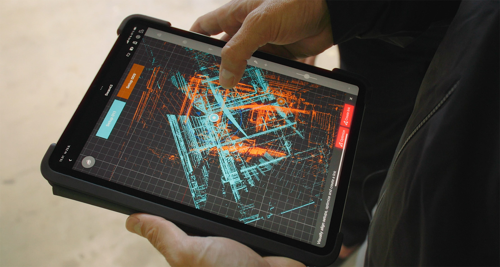
With the freeboard targets set, they scanned the yacht’s hull using the RTC360 and a tablet computer running Leica Cyclone FIELD 360, a mobile device software app that enables users to automatically capture, register and examine both scan and image data directly in the field.
Using Cyclone FIELD 360, they easily controlled the RTC360 as they moved it around the sleek vessel and monitored and visualised the data acquisition in real time. This included aligning, registering and verifying that the checkerboards, hull, and appendages were captured precisely.
While capturing the data, they also created cloud-to-cloud alignment links between different scans with common points on-site, allowing them to address potential data gaps immediately and ensuring they wouldn’t need to return to the site. In only 17 setups, they captured the entire shape of the boat, the freeboard points, and the boat bottom at a scanning resolution of 3mm at 10m.
“With total stations, we’ve needed at least six hours in the field to properly acquire a boat’s shape,” says Pindozzi. “With laser scanning technology, we precisely captured the ClubSwan 43 in half the time.
“It’s also more flexible,” Pindozzi continues, “because if the boat is resting on its cradle off-centre or with a different longitudinal inclination compared to its real position when floating on the water, we can adjust the trim afterward. That speed and flexibility greatly enhances the measurement process.”
.
Measuring Up
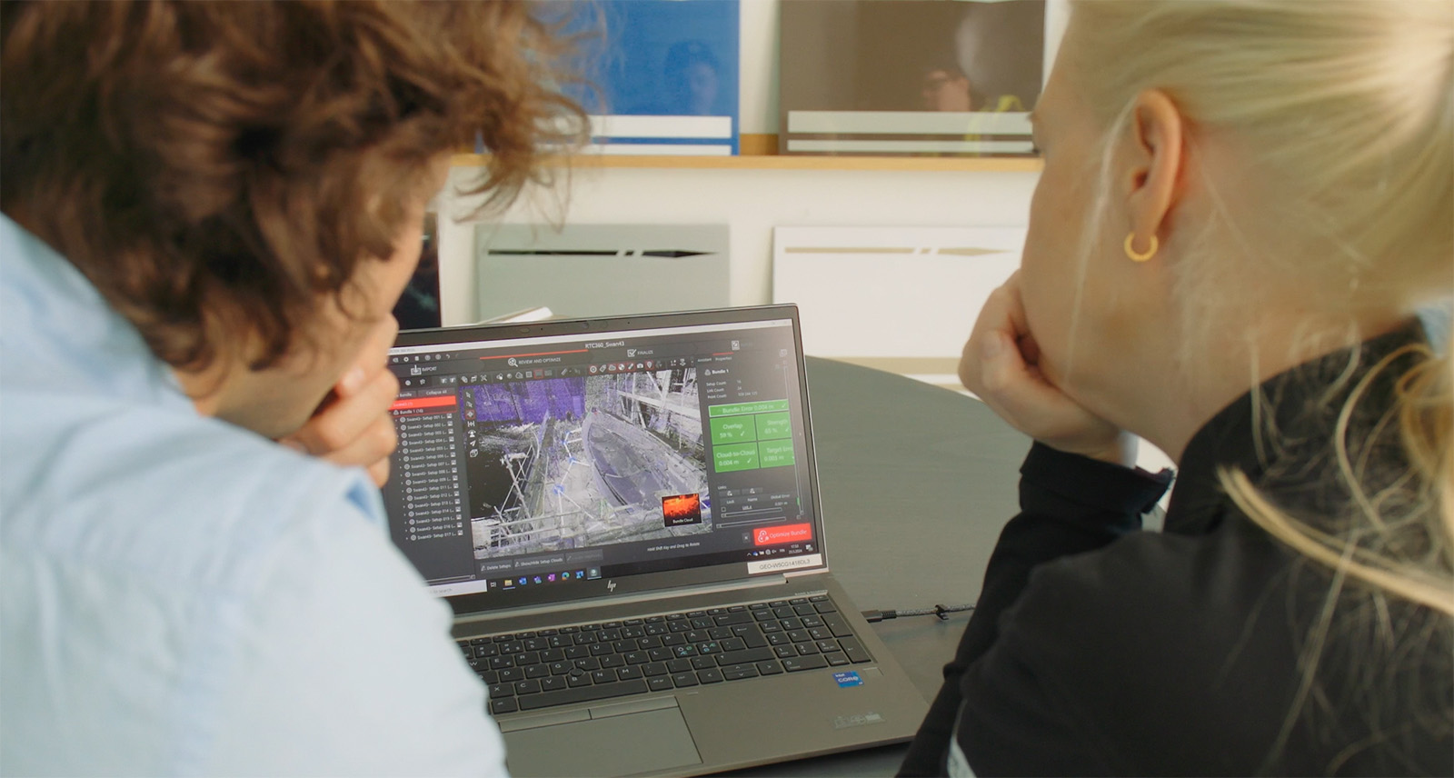
After a successful scanning session, they returned to the office with their point cloud data for cleaning and further processing. Importing the scan data into Leica Cyclone REGISTER 360 PLUS, a powerful and intuitive post-processing software, they used the simple drag-and-drop guided workflows to do final registration and clean the point cloud.
Once they had isolated surfaces of interest and removed noise, the precise 3D model, or digital twin, was ready to be published or exported. The final 3D model was an exact digital replica of the ClubSwan43, showing her hull, rig, sails, and propeller–– critical elements measured for rating certificates.
The team exported one file containing the x, y, z coordinates of the four targets. They also exported the entire 3D model into the ORC’s proprietary software to measure assets and prepare an offset file, which they could use to calculate the rating certificates.
Based on their accurate measurements of the boat’s assets, they used their specialised software to calculate the weight of the ClubSwan 43, the volume below the water line, the trim, and the hydrodynamic forces of lift and drag that will impact the boat’s performance. They also measured the height of the four target points from the water line to calculate the displacement of the boat. All the boat-specific data was then added and saved to their offset database.
Now when the new ClubSwan 43 launches, her offset file will launch with her, streamlining the process for owners wanting to acquire a rating certificate.
The intuitive drag and drop features of Leica Cyclone REGISTER 360 PLUS desktop application allow the team to easily clean the point cloud and do final registration.
A New Boat-Measuring Method Sets Sail
The project proved the capability and versatility of Leica Geosystems scanning technology and validated the new measurement approach, setting the technique on course to become ORC’s standard method for measuring yachts.
“Combining the RTC360 with field and office software to scan ORC hulls has significantly enhanced accuracy while also making the process more intuitive and less constrained,” says Zuppini.
“We get a superior product in much less time, and it increases the quality of the files used to prepare and provide certificates around the world. We foresee the RTC360 becoming the standard boat-measurement tool in the future.”


