Leica Nova MS60 MultiStation: Til alle måleoppgaver
Praktisk og allsidig med både totalstasjonfunksjoner og 3D-laserskanning, GNSS-tilkoblingsmulighet og digital bildebehandling
Med den nye versjonen av Leica Nova MS60, verdens første selvlærende MultiStation, kan du utføre alle landmålingsoppgaver med ett instrument. Det hever nivået på sensorfusjon ved å kombinere:
- De mest avansert totalstasjonfunksjonene
- 3D-laserskanning, slik at du kan skanne opptil 30 000 punkter per sekund
- GNSS-tilkoblingsmulighet
- Digital bildebehandling
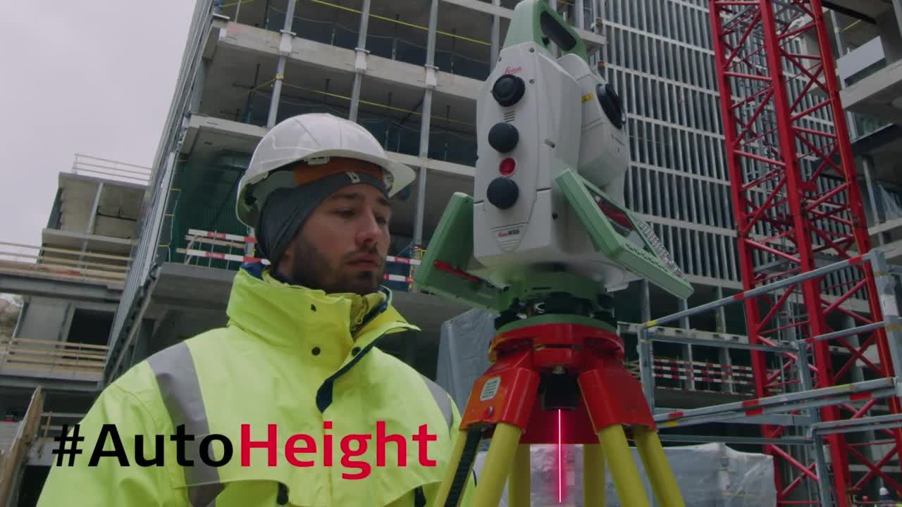
MS60 leveres med Leica Captivate, en fast installert programvare med brukervennlige apper som hjelper deg med alle landmålingsoppgavene dine. Arbeidet effektiviseres ytterligere med MS60 sin funksjon Dynamic Lock, i tillegg til den nye og banebrytende funksjonen for oppsettsassistent, AutoHeight, som gjør oppsettet enda raskere og mer nøyaktig med bare et tastetrykk.
Til dette bruker du Leica Nova MS60:
- Flatemodeller og volum innen bygg og anlegg samt gruvedrift: hauger med gråberg og materialfylling, DTM-oppretting og kontroll av flatemodeller, materialtykkelse, sprengningsflater og bakkenivåer.
- Analyse av komplekse konstruksjoner og gjenstander innen prosjekter for anlegg, marin bruk samt rør og kabler: målkontroll, eksisterende anlegg og oppføringer
- Mål av bygninger og konstruksjoner: analyse av brotilstand/klaring, BIM og eksisterende anlegg
- Arbeid på fasader, oppriss og historiske bygninger: lage tradisjonelle fasadedata, 3D-modeller og fotografisk dokumentasjon
- Tradisjonelle topografiske målinger til landmåling og kartlegging: lage tradisjonelle data som 2D-kart eller 3D-modeller
- Deformasjonsovervåking av bakkeoverflater og strukturer: automatiserte eller periodiske målinger av bygninger, transportinfrastruktur, risikoområder i naturen, demninger og andre objekter
Oppdag hvordan du kan dra nytte av Leica Captivate Inspect Surface-appen:
Dette sier kunden om hvordan MS60 sikrer perfekt arbeidsflyt:
Highest-end total station
3D laser scanning
GNSS connectivity
Digital imaging
When to use the Leica Nova MS60
Traditional surveying and so much more. Learn ways our scanning total station enables measurement tasks and deliverables for a range of sites and structures.
- Surfaces and volumes in construction and mining, soil heaps and stockpiles, DTM creation and checking surfaces, material thickness, blast faces and ground levels
- Analysis of complex structures and objects within plant, marine and utility projects: dimensional control, as-built and record keeping
- Measuring buildings and structures: bridge condition/clearance analysis, BIM and as-built
- Facade, elevations and heritage work: creation of traditional deliverables like 2D maps or 3D models
- Deformation monitoring of structures and ground: automated or periodic measurements of buildings, transportation infrastructure, natural hazards, dams and other objects
Integrated surveying, monitoring and CAD software
- Leica Captivate - the MS60’s onboard software with easy-to-use apps that cover all your surveying tasks. Includes a range of tools to optimise scanning tasks, like the Inspect Surface app and more.
- Leica Infinity - an intuitive surveying office software enabling seamless data transfer from the MS60 to the office to manage, process, analyse and quality check your field data.
- Leica GeoMoS - the automated deformation monitoring software providing movement analysis, reports and notifications
- Leica Cyclone - point cloud processing, management, collaboration and visualisation software.
- Leica Cloudworx - CAD plugins that allow you to work efficiently with large point clouds directly in your chosen CAD system
- Additional Hexagon packages and selected partner software

Highway monitoring enabled by patch scanning
Innovations to the MS60
The payoff of a scanning total station
Leica MS60 MultiStation is fully compatible with:
Certification & calibration
Just a sticker? The value behind certifying your measurement instruments
Quick and simple user calibration of your Leica Geosystems total station
Leica Captivate
Q&A: Leica Captivate Shapefile Export App
Leica Captivate – Inspect Road Surface and Tunnel Alignment
The Leica Captivate Experience continues: Interviews with our experts
Improved Field-to-Finish from Captivate to Carlson Office
Increase surveying productivity with Leica Captivate through imaging and augmented reality
New plugin download page: Tools for connecting Autodesk Civil 3D or Revit directly with your Leica field solutions (available for free)
Dynamic Lock
Leica Nova MS60 – Dynamic Lock
Monitoring
Monitoring Dublin commuters’ safety
Digital Interoperability
Digital Interoperability Between Leica Infinity And Leica Cyclone
Why choose a MultiStation
Verifying absolute accuracy for records to help the world
The not-so-surprising secret to running a successful surveying firm
Innovating as-built verification
Lift off with MultiStations, robotic total stations (NASA)
The Leica MS50 Multistation: the real deal pays out
Adding real customer value (WestLAND Group, Inc.)
Taking out the guesswork
Monitoring the changes of our lifetime
Get into laser scanning easily
Scan till you drop
Scan of Mont Blanc ice cap
Surpassing customer needs with 3D laser scanning
Exact scan of two cooling towers
Return to the height definition surveying seas
The real deal pays out
Monitoring
Monitoring Dublin commuters’ safety
Scanning high-traffic roads unmanned
Slope movement monitoring at Hinkley Point C
Monitoring Kristianstad’s central sewage treatment plant
Monitoring Melbourne’s railways
Leica Captivate
Be Captivated: creating the Leica Captivate experience


