The Stakeout Auto Points app

Leica Captivate - Did you know...
Leica Captivate offers a lot of very useful functionality in apps. Some of these apps are pre-loaded on each instrument while some come with apps that would need to be loaded separately. We would like to introduce some of these apps to you.
The Stakeout Auto Points app
When the Stakeout Auto Points app is loaded into Leica Captivate, it allows the Total Station to automatically turn to a point to be staked by iterating the position of the point. The Total Station will make a measurement, compute the difference to the point being staked, turn closer towards the point, measure again and so on, until the correct position is found.
With this app, three types of automation are possible:
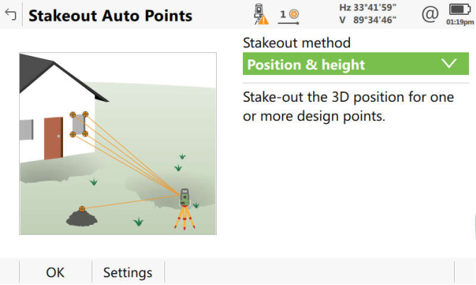
1. Position & height
This function allows the selected points to be aimed at automatically by the instrument. If the "automation" setting is activated, all selected points will be aimed at, one after another. The instrument will pause by the defined amount of time before aiming at the next point.
This functionality is most useful when a quick check is needed, that points are in the correct location.

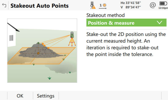
2. Position & measure
This function allows the selected points to be automatically aimed at by the instrument, but only in 2D (easting and northing). If needed, the instrument will ignore the height of the point being staked and iterate to the easting and northing of the point.
This is probably most useful when wanting to automatically locate the 2D position (easting and northing) but the height is not important.
For example, imagine you need to drill holes in a concrete floor. You have been given a list of points to stake which represent the drill locations. But the height of the concrete floor is not "correct" - it is not the same as the height of the point to be staked. Using the Position & measure method and measuring reflectorless, the instrument will iterate to the true drill location.

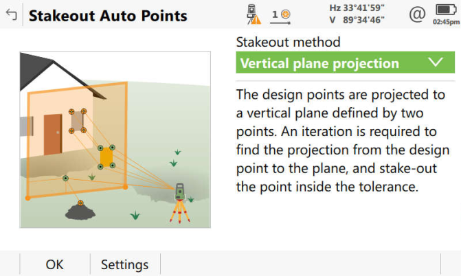
3. Vertical plane projection
This method is similar to the Position & measure method but uses a user-defined vertical plane. The points to be staked will be projected perpendicularly to the plane. The instrument will then iterate to the desired location.
For example, imagine you need to drill holes in a concrete wall. You have been given a list of points to stake which represent the drill locations. But the concrete wall is not "correct" - the points you have been given do not "lay" on the surface of the wall (they are either "inside" or outside the wall). Using the Vertical plane projection method and measuring reflectorless, the instrument will iterate to the correct drill location (assuming you want to drill a hole perpendicular to the wall).

This app is currently only available in Europe and only in English, Hungarian and Spanish. If you are interested in this app, please contact your local Leica representative so they can organize to make this app available for your region.


