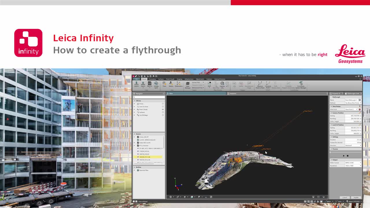
Fly through data in Leica Infinity
Learn how to share project overviews by easily turning your survey data into short videos and screencasts.

The best way to help clients understand project data is by showing them through 3D visualizations and flythroughs. But what’s the best way to create these high-value deliverables? The latest software makes it easy.
For example, Leica Infinity gives you three options to create flythroughs: Fly along view points, orbit and look around, or fly along feature. Here are quick tips on how to use each method.
Fly Along View Points
To create a flythrough video with the Fly Along View Points method, simply open the Flythrough Creator from the status bar. You can select the starting view point, camera position, look-at position and video settings. From there, simply zoom, pan and rotate the data to create your flythrough, then preview your recording. The control panel allows you to easily adjust your settings to optimize the results before you finalise your video.
Orbit & Look Around
To use the Orbit & Look Around method, select the Orbit method in the Flythrough Creator. Navigate to the desired position in the view pane and select the “Use current view” icon. When the video is played, the camera will orbit around the specified location. You can also select a specific point or feature and use it as the “look at” position. You can adjust the camera position and zenith angle to provide the best view of the project.
Fly Along Feature
The Fly Along Feature method allows you to select a linear object as the flythrough path. After selecting this method in the Flythrough Creator, use the tools to specify the feature for the “look at trajectory.” You can move the vertical camera position up or down, determine the length and horizontal offset, and modify the duration and direction to further refine your flythrough.
With the right tools, you can easily create simple and professional data presentations that take your surveys to the next level. Watch the video to see each method in more detail.
Discover more surveying solutions that can help your business thrive.


