Digitally preserving Hukuru Miskiy
Case study

Author: Reka Vasszi
A team of surveyors, programmers and heritage professionals are on a mission to unfold and virtually document the secrets behind the construction of the most important heritage site of the Maldives – the Malé Hukuru Miskiy.
The Malé Hukuru Miskiy, meaning the Friday Mosque, is located on the capital island of Malé in the Maldives and currently is included in the UNESCO World Heritage tentative list. To meet UNESCO’s standards and become part of the final World Heritage list requires the detailed documentation of the mosque complex and additional conservation and refurbishment work.
Through centuries, no information or drawings have survived to describe the complex design and construction of the site and its structures, hence, the Department of Heritage of the Maldives asked Water Solutions Pvt Ltd. to capture and document the heritage complex in 3D.
Water Solutions provides surveying, engineering and environmental consultancy services across the Maldives. The company strives to introduce new technologies and state-of-the-art equipment to improve its surveying services. To undertake a precise digital survey that would be the basis for 3D documentation and renovation of Hukuru Miskiy, Water Solutions used laser scanning in combination with a total station and the world’s fastest GNSS RTK rover.
“Hukuru Miskiy is a historically and architecturally significant place; the work carried out by Water Solutions to digitise the mosque is priceless,” said Yumna Maumoon, minister of arts, culture, and heritage in the Maldives.
Scanning the largest coral stone building in the world

Hukuru Miskiy was built in 1658 under the reign of Sultan Ibrahim Iskandar. This mosque complex, the largest and finest coral stone building in the world, is a testimony of the fusion of Indian Ocean seaborne cultures and proof of the unique artistry of the Maldivian people.
The materials and techniques used in building Hukuru Miskiy display a significant stage in ancient construction techniques of Maldivians. For the sake of preserving this cultural heritage and honour foregone Maldivian craftmanship, Water Solutions captured and georeferenced Hukuru Miskiy in only a couple of days, using a combination of Leica Geosystems solutions:
- Leica BLK360 imaging laser scanner
- Leica Viva TS16 robotic total station
- Leica GS18 T GNSS RTK rover
- Leica Cyclone REGISTER 360 3D laser scanning point cloud registration software.
“Surveying is something I do with great passion. I love the technology and the sense of adventure that comes with working outdoors. Leica Geosystems has been innovating and changing the game with their latest surveying gear. Collecting data for this project in such detail has made this an exciting one,” said Mohamed Affan Shakir, offshore surveyor at Water Solutions Pvt Ltd.
Blending technologies

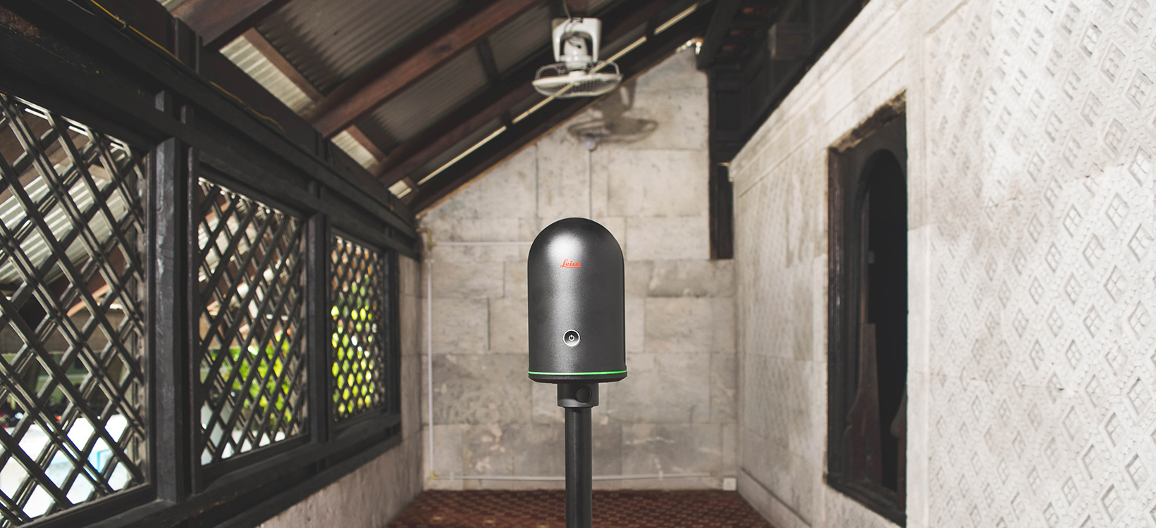
The heritage site consists of the mosque surrounded by a 17th-century cemetery and a minaret. The sanctuary complex is still used to conduct the daily prayers, thus the team had limited time to scan the building. Besides, the many small rooms, the detailed carvings on the walls and the narrow loft encumbered the documenting process.
Water Solutions required a compact product that would capture scans fast with high-resolution images and can also fit in small places to document the fine details. With these challenges in mind, the team selected the BLK360 to capture the mosque, its roof structure, the cemetery and the minaret.
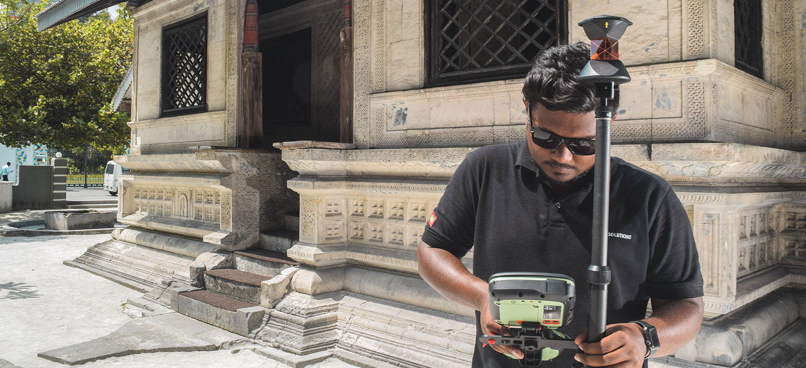
To reference the scanning targets, the TS16 robotic total station was used in non-prism mode to directly measure the coordinates of the targets. To georeference the final point cloud, the GS18 T GNSS RTK rover was used to establish control points on site. Finally, the point clouds were transferred and post-processed in Cyclone REGISTER 360 3D laser scanning point cloud registration software.
“We put our trust in Leica Geosystems surveying equipment to collect accurate data and never had any issues with the equipment. It is vital to have a gear that you can rely on when carrying out surveying in any outdoor environment,” said Hamdulla Shakeeb, laser scanning expert at Water Solutions Pvt Ltd.
Pushing the boundaries of heritage preservation

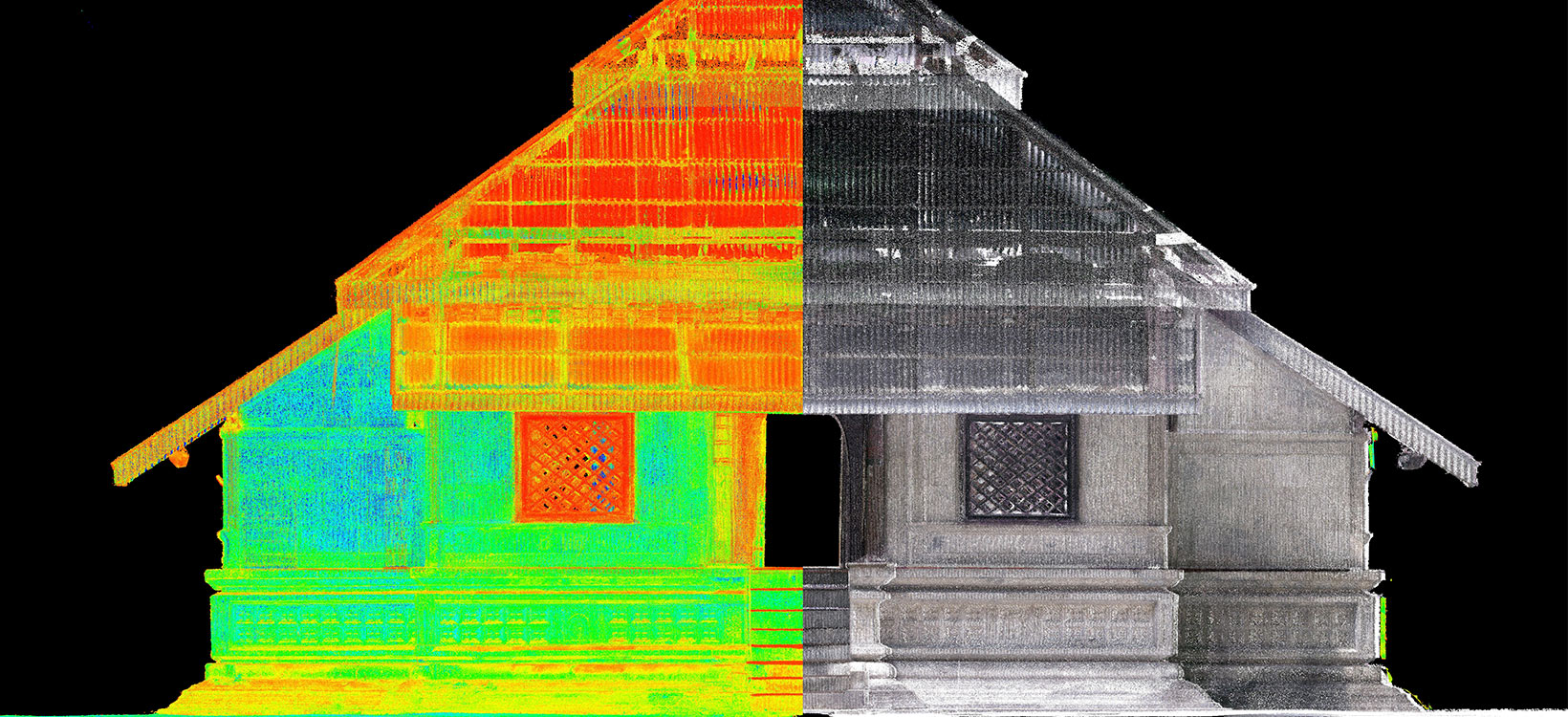
The creation of this digital dataset can help preserve this more than 350-year-old heritage site and the detailed as-built map can be used in the rehabilitation of the roof structure and as baseline map for future restoration. The detailed 3D models allow heritage professionals to document, manage, renew or maintain Hukuru Miskiy and qualify the site for the final decision on its inscription on the World Heritage list.
“Using Leica Geosystems equipment has strengthened the confidence with our clients, helping to build long-lasting business relations,” said Shakir.
Besides the physical preservation of the heritage site, laser scanning enables the development of small-scale 3D models or Virtual Reality applications to teach students about Maldivian history, craftsmanship, traditional architecture and ancient construction techniques.
The BLK360, in combination with the total station and GNSS RTK rover, enabled Water Solutions to introduce laser scanning in the Maldives for the first time and showcase the potential of laser scanning to survey and document heritage sites.


